Online MCA Programme
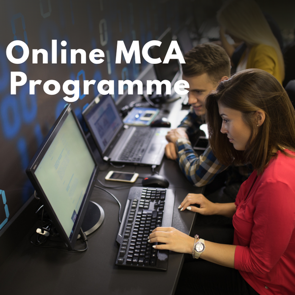
An Online MCA Programme is a professional postgraduate course designed for students who want to advance their career in computer applications, software development, and information technology through a flexible online learning mode. This program is ideal for working professionals, IT aspirants, and graduates who wish to enhance their technical skills while managing other commitments. The course offers live interactive sessions, recorded lectures, and access to a Learning Management System (LMS), allowing students to learn anytime and from anywhere.The Online MCA curriculum covers advanced subjects such as Programming Languages (Java, Python, C++), Software Development, Database Management, Cloud Computing, Data Structures, Algorithms, Web Technologies, Cybersecurity, and Mobile Application Development. Many universities also provide specializations in areas like Artificial Intelligence, Machine Learning, Data Science, and Big Data Analytics to ensure students gain industry-relevant expertise.To be eligible for an Online MCA, candidates must have a bachelor’s degree in BCA, B.Sc (IT/Computer Science), or a related field from a recognized university. The course generally spans 2–3 years (4–6 semesters) and offers a flexible schedule, making it suitable for both fresh graduates and working professionals seeking career growth.Online MCA programs are offered by UGC-recognized and NAAC-accredited universities, ensuring academic credibility and acceptance in the IT industry. The program emphasizes practical projects, coding assignments, and real-world applications, helping students develop a strong technical portfolio.After completing an Online MCA, graduates can pursue careers as Software Developer, System Analyst, Web Developer, Database Administrator, IT Project Manager, Cybersecurity Analyst, or Data Scientist. It also provides a strong foundation for higher studies or certifications in advanced IT and management domains, making it a valuable choice for aspiring IT professionals. ...
View More